


When heavy rains fall in the Western Balkans, swollen rivers cut across borders without warning. In the Drin River Basin – a vast watershed shared by Albania, North Macedonia and Montenegro – floodwaters surge through farmland, swallow roads and leave families stranded, according to a story published in UNDP.
For generations, people have endured these floods. But with climate change accelerating, they are arriving faster, lasting longer and hitting harder.
“This is exactly the view from my business when the floods hit,” said Robert Tonaj, who runs a nursery in the village of Dajç, near Shkodra in northern Albania. His garden, once filled with ornamental trees, was left underwater after the Buna River burst its banks. “You can imagine my state of mind – everything I’ve worked for gone. It’s devastating, especially when your livelihood depends on the land.”
Tonaj’s story is mirrored across the basin, where farmers, families and small businesses face rising flood risks that threaten not only property and productivity but also their sense of security.
A fragile basin under strain
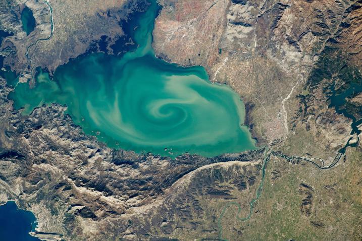
Covering about 20,000 square kilometres, the Drin Basin is one of Europe’s most complex river systems, stretching from North Macedonia’s mountain lakes to Albania’s Adriatic wetlands, passing through Montenegro and Kosovo and touching northern Greece. It is home to more than 1.6 million people and ecosystems of global importance, including Lake Ohrid – Europe’s oldest lake – and Lake Shkodra, a critical bird habitat.
But the same waterways that sustain agriculture, tourism, hydropower and fisheries are also a source of growing danger. Extreme rainfall events are becoming more frequent. Deforestation, poor land management and ageing infrastructure have left communities exposed. The World Bank estimates flooding in the Drin Basin causes about $10 million in damages annually.
“No single country can deal with these impacts alone,” said Ylber Mirta, head of the Water Department at North Macedonia’s Ministry of Environment. “Floods don’t recognise borders.”
A joint project
In 2019, Albania, Montenegro and North Macedonia launched a $9.15 million programme funded by the Adaptation Fund and supported by the U.N. Development Programme (UNDP) to reduce climate-induced flood risks. The six-year initiative, now nearing completion, sought to replace fragmented national responses with a basin-wide strategy aligned with the European Union’s Floods Directive.
The project had three strands: upgrading flood monitoring and forecasting networks, strengthening national and cross-border policy frameworks, and investing directly in vulnerable communities through drainage rehabilitation, embankment repairs, early warning systems and ecosystem restoration.
More than 33 hydrometeorological stations have been upgraded across the three countries, while Albania installed a new high-performance computing system that cuts flood modelling times from days to hours, allowing warnings up to three days in advance.
Country-level efforts
In Albania, engineers are rehabilitating the KK-5 drainage channel, a 5 km system critical to the Shkodra region. Local groups are also replanting native vegetation and restoring natural waterways to improve flood defences while preserving ecosystems.
In North Macedonia, authorities have restored sections of the Sateska River, which was diverted in 1961 to feed into Lake Ohrid, carrying damaging sediment into the UNESCO-listed site. New sediment traps and riverbed works are reducing flood risks and easing ecological pressures on the lake, which is home to hundreds of rare species.
“This project delivers a double benefit,” said Mirta. “It protects communities while addressing UNESCO’s concerns about water quality and biodiversity.”
In Montenegro’s southern Ulcinj region, authorities have rebuilt the long-eroded Gropat–Štodra embankment along the Bojana/Buna River, securing more than 7,000 hectares of farmland and protecting nearly 2,000 residents. Emergency responders in Ulcinj have also received new flood-response equipment.
Beyond infrastructure
Officials stress the real achievement is not just physical defences but cooperation. For the first time, the three countries have a joint flood risk management strategy, backed by shared data and a five-year action plan. Municipalities across the basin have adopted local flood action plans and training in post-disaster assessments to ensure faster recovery when floods strike.
Around 7,000 hectares of farmland have been shielded, restoring confidence among farmers who rely on agriculture for survival.
“The legacy isn’t only stronger embankments,” said Nora Kushti, a UNDP communications specialist from Shkodra. “It’s stronger institutions, smarter planning and communities better prepared for the future.”
A regional model
As climate change accelerates, international agencies say the Drin Basin project offers a model for other shared watersheds worldwide, showing how neighbouring states can move from crisis response to long-term resilience.
During a recent visit, the Adaptation Fund delegation praised North Macedonia’s efforts as “a model for integrated, sustainable flood risk management.”
“The river may still rise,” Tonaj said, standing by his rebuilt nursery. “But with the right investments, we don’t have to sink with it.”